Boundary Disputes
What is a boundary?
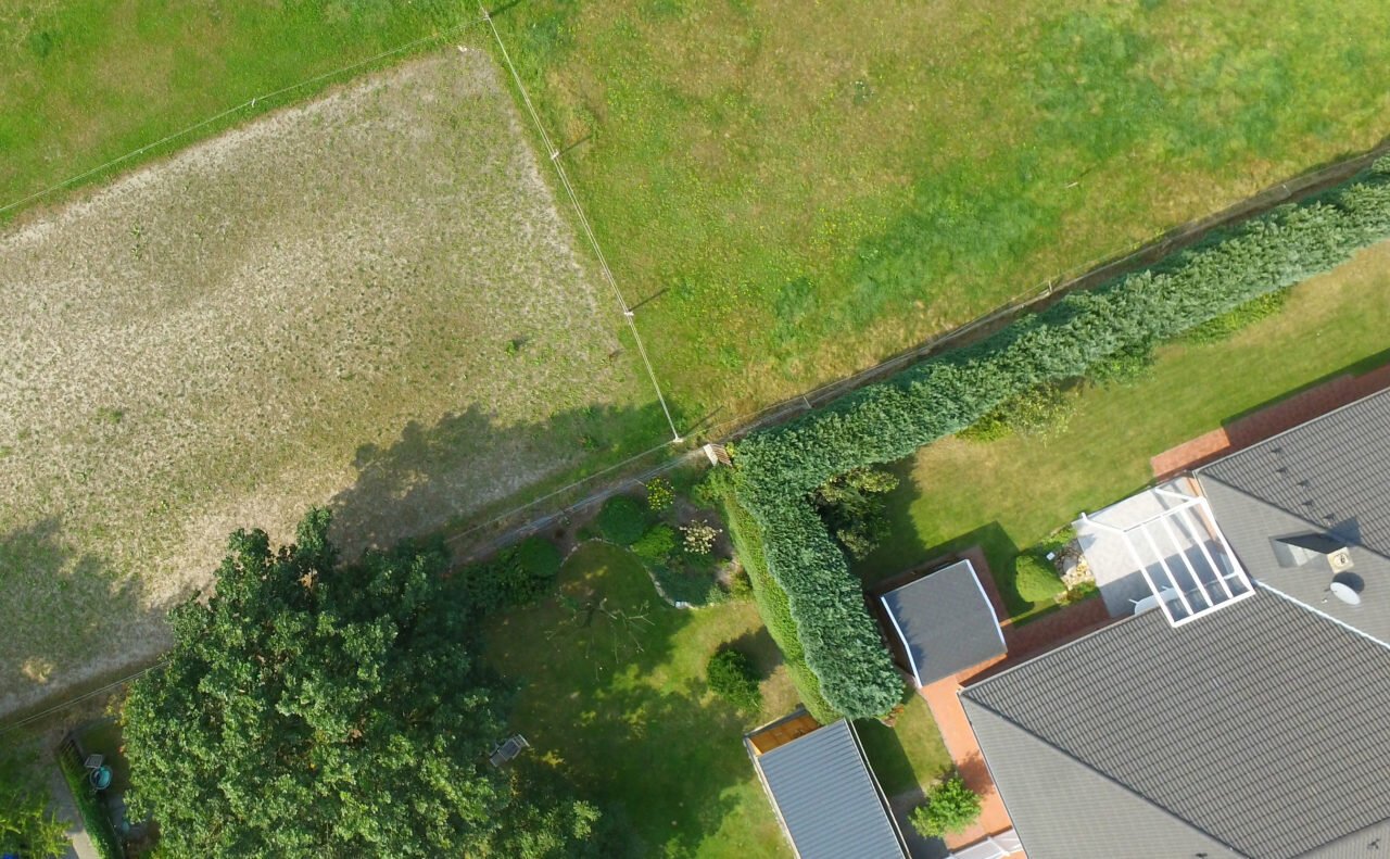
“Land Registry records the general position of the boundaries in each registered title using an adapted large scale Ordnance Survey plan. This title plan may not accurately represent the true ground positions of the boundaries. The Land Registration Act 2002 allows you under certain conditions to determine and record the exact line of your boundaries on a registered title, to avoid any future boundary dispute.
But what happens, for instance, if a neighbour complains a new wall is overlapping their land, or their new extension takes up part of a pathway between your houses?”
-RICS
A minor disagreement can quickly become a full-scale dispute involving solicitors’ letters and threats of court action. Even more damaging are the costs involved. Millions of pounds are spent a year in courts disputing boundaries in Northern Ireland.

Where we come in

We are specialists in this field, and can look at all aspects of the problem and advise on whether or not you have a case. We are Chartered Surveyors specialising in boundaries and are professional advisors with relevant knowledge of both property issues and the law.
We will will look at the problem, prepare any technical data that may help solve the dispute at an early stage and, if necessary, provide a court with the appropriate advice and information needed to make a judgement. We will also advise on alternative dispute resolution procedures, which would avoid the need to go to court.
Find out information about the Land Registry maps clicking here
