Building and Land Surveys – Precise Measurements, Newcastle
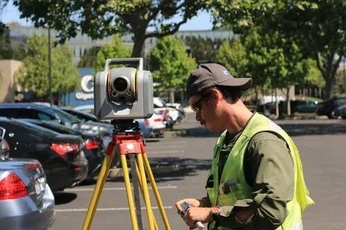
Reencon Chartered Surveyors, Newcastle. Topographical surveys. OS grid linked. 3D laser scanning. Millimetre precision. Utility mapping.
Speak to our surveying experts today.
Schedule TodayPrecise survey solutions
Accurate data is the foundation of every successful project. Our survey services cover a wide range of needs, including topographical surveys, boundary assessments, and underground utility mapping. Using cutting-edge technology, we ensure millimetre accuracy and reliable results, empowering architects, engineers, and developers to plan with confidence and clarity. Get in touch for more details regarding our services.
Enquire Today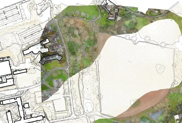
Advanced utility mapping
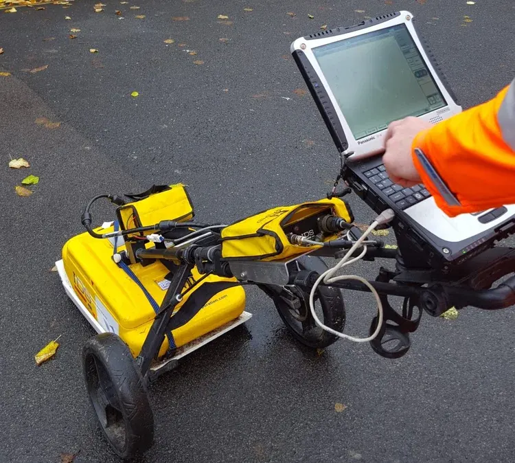
We specialise in underground utility mapping using the latest Ground-Penetrating Radar (GPR) and Electromagnetic Location (EML) technology.
Having a survey to find any utilities can be a benefit when completing any building projects, as it can prevent more complicated and costly issues arising throughout the project. Our surveys will avoid more invasive methods of finding hidden utilities, and our state-of-the-art equipment allows us to detect hidden services and obstructions quickly and safely. We can issue same-day reports when needed, helping reduce project delays.
Digital data delivery
Our surveys provide detailed 2D and 3D plans tailored to your project scale. These include contour plotting and digital formats such as DXF or DWG for seamless integration into your design workflow. This digital approach improves communication and ensures everyone on the project is working from the most up-to-date and accurate data, especially when paired with 3D modelling/scan to BIM for enhanced visualisation and coordination.

Comprehensive survey reporting
We provide detailed, clear reports including 2D and 3D plans, contour plotting, and digital files in DXF or DWG formats. Our thorough documentation ensures you have all the information needed to make confident decisions throughout your project lifecycle.
Our survey drawings are drawn from laser scan data and provide more accurate and detailed plans than traditional survey methods using tapes and distos. This laser scanning method of survey can help prevent unforeseen costs resulting from surveys lacking in accuracy and detail. It is a digital replica of your house as recorded on the day of survey, and can be used as proof of the visual condition of the building prior to contractors starting work should any dispute arise.
Contact Us NowGet expert survey help
Ensure precision and reliability for your project with our survey services. Speak to our team now to discuss your requirements with our experienced team.
028 9551 3603